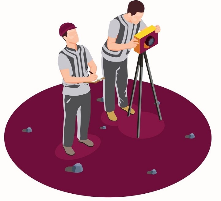
Capital Vision offers field study services.
TOPOGRAPHIC STUDIES
Land register
– Agricultural and forestry registration in the land register (ownership);
– Registration in the land register of Civil and industrial construction buildings ;
– Land dismantling ;
– Land unifying ;
– Real estate/building apartments and sub-apartments;
– Set-aside of land temporarily or permanently;
– Cadastral and topographical number identifications on the plane and in the field;
– Topographic number substitutions with cadastral numbers;
– Specialist technical advice.
Topography
– Topographic lift for roads (including cross-sections, longitudinal profiles, level curves): local roads, local roads (Streets), topographical rises for any type of urban works;
– Railway topographical raises:
◦ Railways of local interest;
◦ Secondary railways;
◦ Main railways.
– Topographical lifts for bridges, passages, viaducts;
– Topographical lifting for quarry (including level curves and volume calculation);
– Topographical lift for ballasting sites (including level curves and volume calculation);
– Topographic upheavals (channels, ponds , lakes, dams);
– Specialized technical consulting.
GEOTECHNICAL STUDIES
Geotechnical studies for:
– Road infrastructure (highways, National Roads, County roads, local roads, City bypass);
– Rail infrastructure (railways, passages, tunnels, supporting walls, bridges and footbridges);
– Air transport infrastructure;
– Shipyard infrastructure.
Geotechnical studies for residential units, houses and blocks:
– Construction;
– Modernization;
– Reinforcement;
– Overlaying;
– Unveiling of foundations;
– Identification of the presence and variation of groundwater.
Geotechnical studies for:
-Wind turbines, energy and telecommunications construction;
– Fuel distribution stations;
– Halls and warehouses;
– Schools and Preschools;
– Supermarkets, hotels, office buildings;
– Sanitary facilities, cultural and religious institutions;
– Water supply systems.
SCANNING & 3D MODELING
ARCHEOLOGY – with the following advantages:
– Possibility to obtain results on any scale;
– Generation of degradation tables;
– The realization of G.I.S.;
– Orthophotoplan;
– 3D modeling;
– Documentation of the different phases of the execution;
– The generation of a waterway database.
ARCHITECTURE – with the following advantages:
– sufficient plans and sections to assess in detail all the fundamental elements for renovation or expansion of buildings.
CIVIL AND INDUSTRIAL CONSTRUCTION – with the following advantages:
– Monitoring of the work progress;
– Inspection of components with irregular shapes;
– Monitoring of digging;
– Testing and maintenance of load-bearing structures.
EXCAVATIONS – with the following advantages:
– Geomechanical excavation analysis;
– DTM generation and slice extraction level curves;
– Volume calculation;
– Area calculation;
– Digging/filling calculations for excavation assessment.
GEOLOGY AND LAND MONITORING – with the following advantages:
– Land slide monitoring;
– Automatically Georeferencing metric images over the dot cloud for macro identification;
– Recognition of discontinuities and geomechanical characteristics of rock masses;
– Volumetric changes in a cave.
FIELD STUDIES – scanning for:
– Geomorphologic studies;
– Environmental impact assessment;
– Feasibility studies;
– Generation of DEM (digital elevation model) and DTM (digital terrain model);
– Generation of georeferenced curves;
– Georeferencing.
TUNNELS – for:
– Identification of the operation areas;
– Section extraction;
– Verification of the conformity of the work with the execution project.